 Russian Ridge
(4.7 mile hike: Moderate)
The Russian Ridge Open Space Preserve is about a 25 mile drive from Ginkgo Glen (45 min). The easiest route is to take Rt. 9 (Big Basin Way) out of Saratoga to Skyline Drive (Rt. 35). Turn right on Skyline and head north about 6.5 miles to Page Mill Road. Turn left at Page Mill and you will see the parking lot for the Russian Ridge Open Space Preserve immediately on your right.
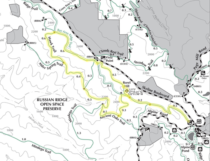
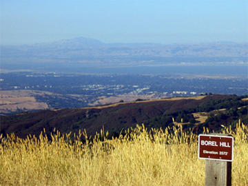
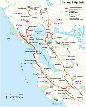 Located just off Skyline Drive, trailhead parking for Russian Ridge is at an altitude of 2,200 ft. The Bay Area Ridge Trail climbs gradually for about 0.8 miles to the high point of 2,572 feet at Borel Hill. This section of the Bay Area Ridge Trail is part of a proposed network of 550 miles of trails which will eventually encircle San Francisco Bay. The Bay Trail, a companion route around the bay, will take a sea-level route.
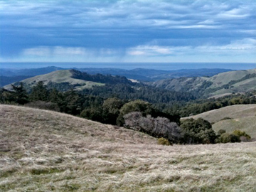
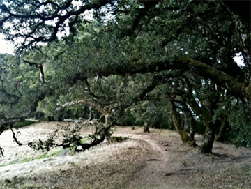
The hike takes you through grasslands and open meadow. In the spring, many of the meadows of Russian Ridge are covered with California Poppies, Lupines, and other wildflowers. If you happen to hike early in the day before there are many trekkers, you might be treated to the sight of a coyote, although it is likely to be a fleeting glance.
View from Borel Hill
As you approach Borel Hill, you will see a small trail on your right to the top of the hill. The short climb is a must do! From the top of the Borel Hill (on a clear day) you will be treated to a 360° panoramic view. Mt Hamilton at the foot of the Bay; Moffet Field, Palo Alto and Mission Peak straight ahead. Turning to the south you can see Mt. Umunhum and the view west provides a view of the Pacific Ocean over the ridge.
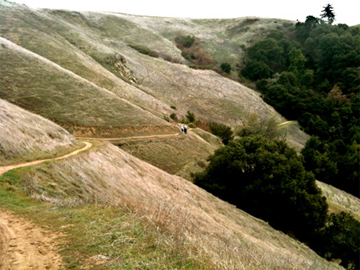
About one mile beyond Borel Hill bear to the left on Hawk Trail. The name is very appropriate as you will see a number of raptors gliding on the currents which rise from the sea to the ridge. Hawks, kites, harriers and kestrels are commonly seen, as they hunt ground squirrels and other small mammals in the grasslands. Hawk Trail merges with Alder Springs Trail as the trail traverses across and down the ridge.
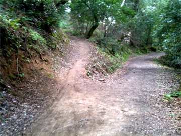 As the trail descends, you enter an area of conifers and live oaks. Look for the Ancient Oaks Trail to your left (about 0.7 miles after the Hawk trail merges with the Alder Springs Trail). Ancient Oaks is the steepest climb on the entire trip, although it is not opressive. The moss-covered oaks are a spectacular sight with limbs arching over the trail. Indeed, these are ancient oaks which have been here since the native Ohlone inhabited the ridge.
Leaving the Oaks, the trail eventually comes back to the Bay Area Ridge Trail where you will backtrack to the parking area.
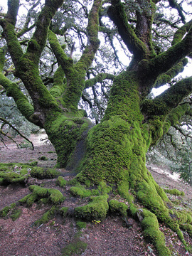
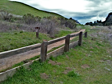
Along the Ancient Oaks Trail
Resources
Russian Ridge Open Space Preserve
Contact webmaster at drfalken@comcast.net
Last updated 8/6/18